Land Survey Profession
Global Geomatics can mobilize highly trained survey teams, experienced in large-scale project work and equipped with the latest survey equipment to support the projects objectives.
Our knowledge and experience
- Beacons Relocation/Boundary Dispute Resolution
- Land Surveyor’s Certificates
- Sectional Titles
- Subdivisions and Consolidations
- Creation of Servitudes, Leases, Proclamation and Mining Diagrams
- New Townships Establishment
- General Plans

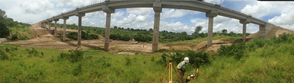
Roads & Earthworks
Global Geomatics will carry out all survey work on Roads & Earthworks in accordance with the TMH11 Standard Survey Methods. This will enable the construction of the road in accordance with the design, and enable accurate volumetric calculations of earthworks quantities.
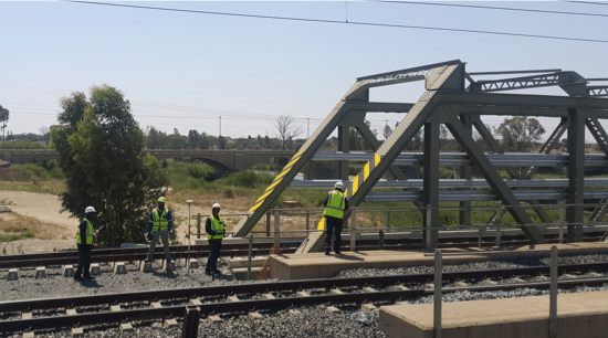
Railway lines
Global Geomatics carries out all survey work on railway lines in accordance with Transnet’s survey specifications.
This enables the effective rehabilitation or construction of railways.

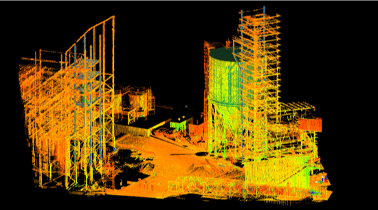
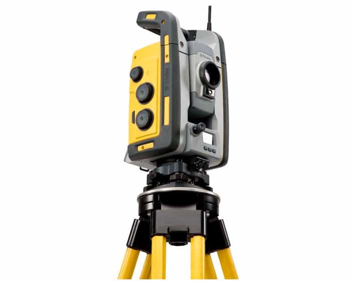
High Definition Surveys (HDS)
Global Geomatics harnesses the technology of Laser Scanning to provide spatial solutions for a wide range of applications. Accurate point cloud is collected by Terrestrial Laser Scanning (TLS) or Mobile Laser Scanning (MLS) configurations
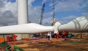
Renewable Energy Projects
We have vast experience in Solar & Wind farm survey projects.
We provide the full survey spectrum of a solar/wind farm project:
NGL & detail survey for design purposes, prior to construction.